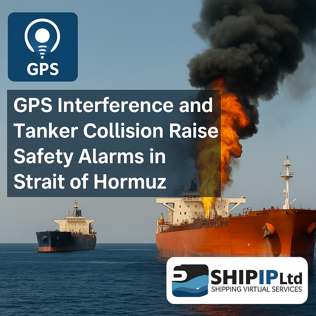
To: All Ship Owners, Operators, Masters, and Navigating Officers
1. Background
Recent reports indicate an increased risk of GPS signal interference or jamming in the vicinity of the Strait of Hormuz. Vessels operating in this region should remain vigilant and prepare for potential disruptions to Global Navigation Satellite Systems (GNSS), including GPS.
2. Recommended Actions
In the event of suspected or confirmed GPS jamming, vessels are strongly advised to employ alternative navigation techniques to ensure safe passage. The following measures should be considered:
A. Non-GPS Navigation Methods
-
Celestial Navigation: Use sextant observations for celestial fixes.
-
Radar Navigation: Cross-check positions using radar bearings and ranges.
-
Dead Reckoning (DR): Maintain accurate logs of course and speed for position estimation.
-
Inertial Navigation Systems (INS): Rely on gyrocompass and inertial sensors if available.
-
Visual & Terrestrial Aids: Verify positions using lighthouses, buoys, and landmarks.
B. Operational Precautions
-
Cross-Verify Positions: Use multiple independent methods to confirm location.
-
Monitor AIS/ECDIS Discrepancies: Be aware that these systems may be compromised without GPS.
-
Report Incidents: Notify nearby vessels, port authorities, and maritime agencies (e.g., UKHO, IMB) of suspected jamming.
3. Contingency Planning
-
Ensure bridge officers are trained in manual navigation.
-
Conduct GPS-denial drills.
-
Carry updated paper charts as a mandatory backup.
4. Additional Resources
-
IMO Guidelines (MSC.1/Circ.1572)
-
UKHO Maritime Security Chart Q6099
5. Contact Information
For urgent assistance or further guidance, contact:
SHIP IP LTD
📞 Tel: (+359) 24929284
📧 Email: sales@shipip.com
🌐 Website: www.shipip.com


