New devices enable remote control, optimised routes
July 24, 2022 Maritime Safety News
Bridge integrators and equipment suppliers have developed remote control systems and upgraded products to meet new maritime demands, as vessel owners consider greater levels of automation and monitor ship navigation from shore.
Fincantieri group’s Vard Electro introduced SeaQ Remote June 2022, for autonomous vessel operations from shore. This unifies the SeaQ suite of automation systems into one user interface, with a full range of functionality enabling remote monitoring and control of vessel navigation, propulsion and automation systems, for unmanned operations.
“This represents a technological leap,” says Vard Electro chief executive Andrea Qualizza. “It is a natural next step in our evolution for integration of advanced SeaQ automated control systems for such areas as energy management, propulsion, bridge and navigation.”
SeaQ Remote extends data-driven functionality to operational technology on the vessel and enables existing machinery systems such as engines, propellers and thrusters to be operated remotely.
Onboard machinery is connected through sensor networks streaming real-time data via the cloud to an onshore control centre. Sensor data is unified within the user interface for greater user awareness of onboard equipment status.
Onshore operators can gain a fleetwide overview from a centralised location to optimise overall operations, while cyber-security safeguards are maintained to prevent system intrusion.
SeaQ Remote is being deployed on 14 newbuild Ocean Infinity autonomous vessels, which will be powered by batteries and controlled from shore using dynamic positioning to DP2 class.
“We are now investing heavily in autonomous technology and digitalisation, supported by synergies in the wider Fincantieri group,” says Mr Qualizza. This is in line with market demands for cost-efficient and green operations, reduced crewing and remote management.
System updates
Sperry Marine has released updated versions of its VisionMaster FT radar and ECDIS software. VisionMaster FT version 15.1 has a new operational mode, enabling mariners to adjust navigation settings according to the task.
It has improved the presentation of alerts on displays, remaining compliant with the latest bridge alert management standard (IEC 62923-1, -2). Version 15.1 has improved vessel targeting indicated by automatic identification system signals, with capacity for up to 650 targets, and enhanced cyber security, with built-in anti-malware protection and Windows 10 security patches.
Sperry Marine says VisionMaster FT version 15.1 is fully type-approved to European Union and UK requirements for radar and ECDIS. It recommends existing bridge systems running on version 12.4 and earlier are upgraded to version 15.1.
Japan Radio Co, along with subsidiary Alphatron Marine, introduced a modular console for ship bridges April 2022, as part of the AlphaBridge product line for controlling and managing navigation, positioning and propulsion. Alphatron Marine claims it was developed with an ergonomic approach to operations on ship bridges.
This new modular console comes as a construction kit for a complete bridge system to be installed on vessels under construction in shipyards or during retrofits. It can be expanded or reduced in size depending on the number of modules and workstations needed, the vessel it will be installed on and the required navigation devices to be added.
The main components of the console are made of lightweight aluminium. The top cover, hatches and optional sides are made of recycled acrylonitrile butadiene styrene, a tough and sustainable plastic, to save weight.
Voyage planning
Furuno Electric is incorporating Napa voyage optimisation software into its new passage planning station PS-100, enabling weather routeing and enhanced route management. PS-100 is currently under development for voyage planning, monitoring and briefing on ship bridges.
Furuno says PS-100 will improve the efficiency and safety of ship operations and the productivity of bridge teams, enabling functions previously conducted around paper charts for route planning to be completed with electronic charts displayed on a touch-panel interface.
Integrating Napa software enables bridge teams to select optimal routes to reduce fuel consumption to an allocated time of arrival and speed.
PS-100 can consolidate and display information for voyage planning, monitoring and management, including vessel navigation data, radar echoes and target information, AIS and weather information, routes and user electronic charts, and provide recommendations for optimised voyages between ports.
Furuno continues to develop new functions in PS-100, helping managers optimise and monitor ship routeing from shore, by acquiring, monitoring and displaying information on managed vessels from shore via the ship’s internet connectivity.
ChartWorld has released MyFleet version 1.11 including a new voyage-order feature for collaborative voyage planning between stakeholders onshore and on board.
This function analyses the time and distance required for a particular vessel, accounting for critical navigational requirements, to load and sail its cargo to a destination, including calculating two-leg voyages.
MyFleet platform users create and analyse a voyage-order proposal and share this information with the bridge team. This software automatically calculates a route for the selected vessel, displays this on a chart and provides voyage information, including total distance, planned time of departure, required speed and planned time of arrival.
Type-approval
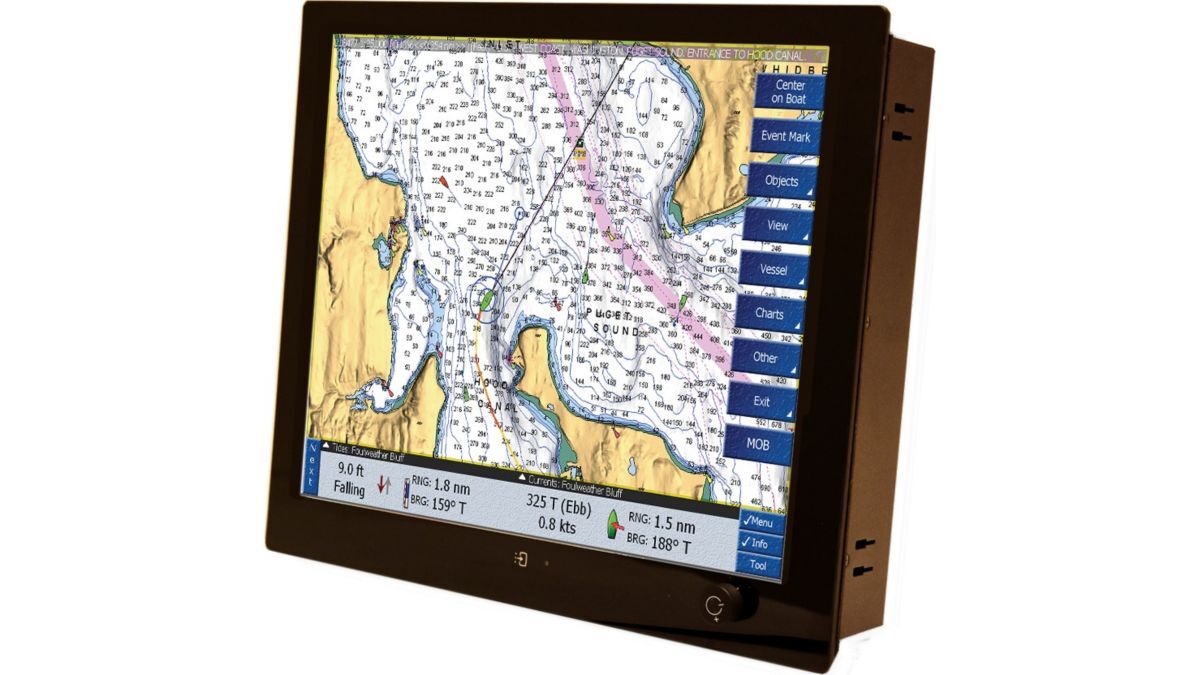
Seatronx has gained type-approval from ABS for its sunlight-readable touchscreen and pilot-house touchscreen displays for vessel navigation. These displays have the same size range and features but use different bonded displays with varying levels of backlighting.
ABS approved these displays, benchmarking them for black-box navigation and radar displays in the marine industry, enabling their use in commercial, military, law enforcement and leisure sectors.
These touchscreens, available in standard format 10-27 in or in a wide-format 15-27 in, display navigation, vessel status, security and other operational information.

